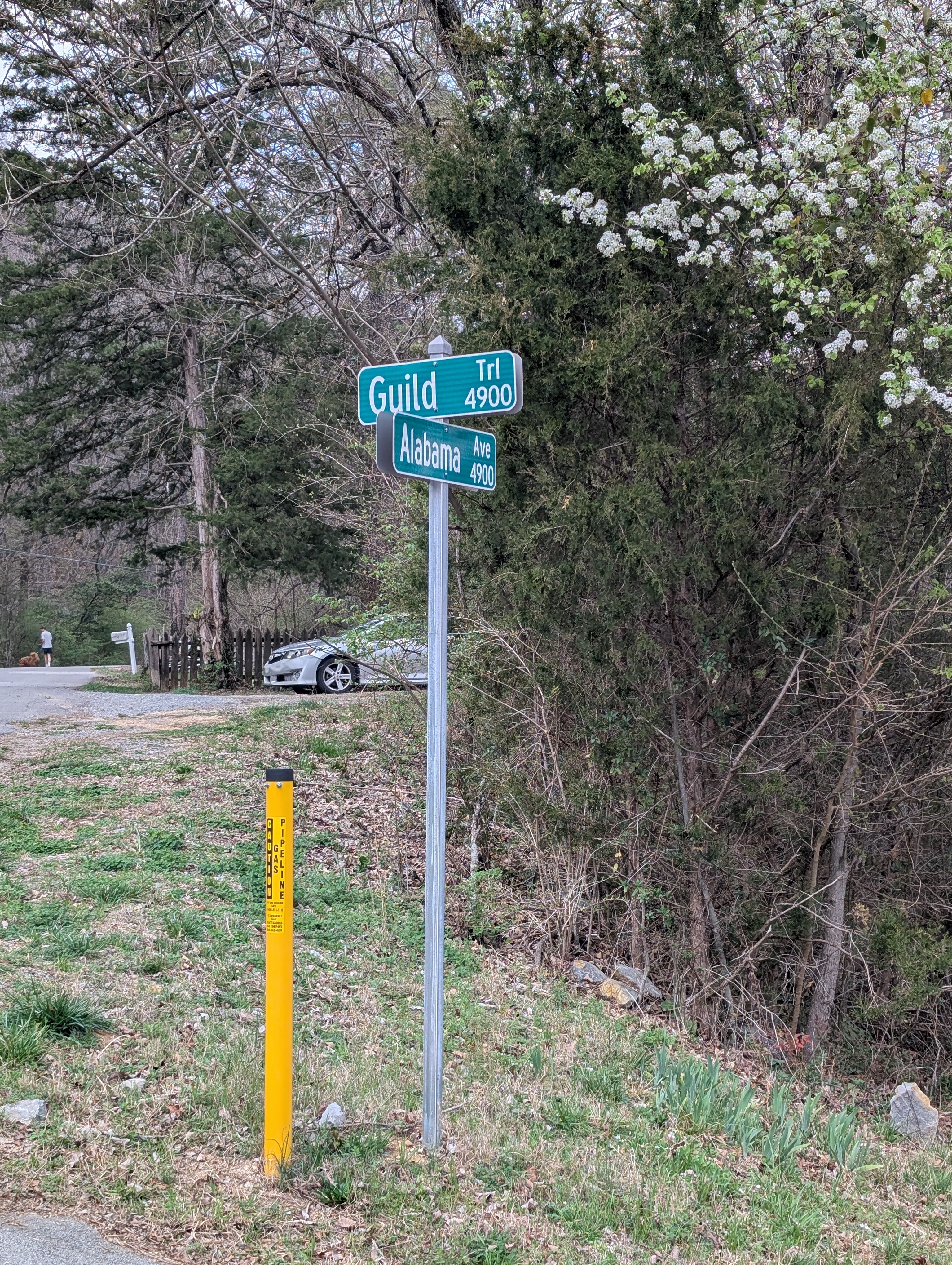
The walk begins at the intersection of Alabama Avenue and Guild-Hardy Road, just behind St. Elmo Park in Chattanooga. A handful of parking spots sit there at the St. Elmo Connector, and they fill quickly on weekends. Arriving early helps. Water in hand, the route starts up the narrow access road.
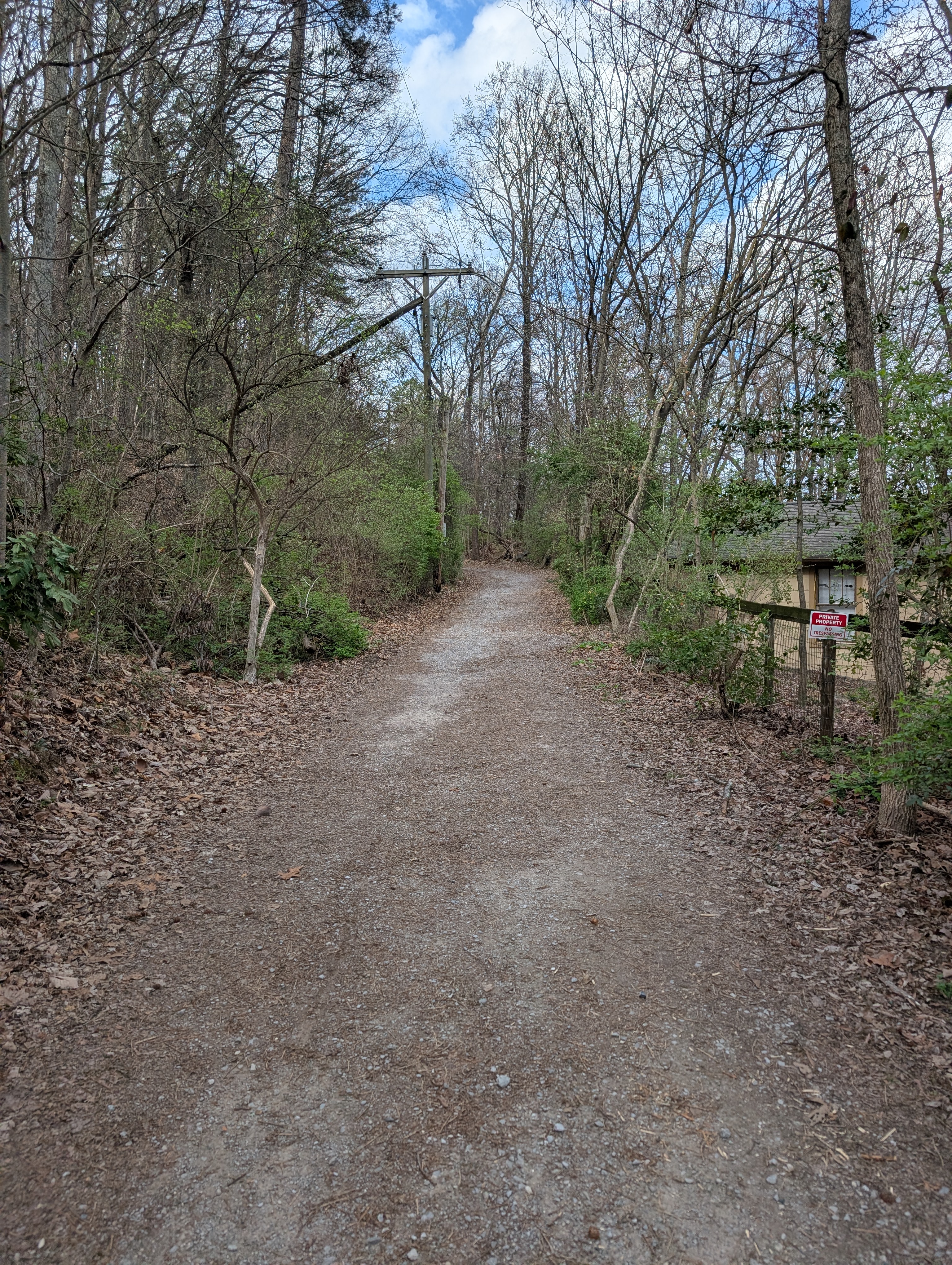
The road heading in is tight—one paved lane handling traffic in both directions. Cars pass slowly, tires crunching along the edges. After a short stretch the surface shifts to a mix of asphalt and gravel. Sneakers work fine here. Bikers roll past and hikers nod as they go by, some with dogs or kids.
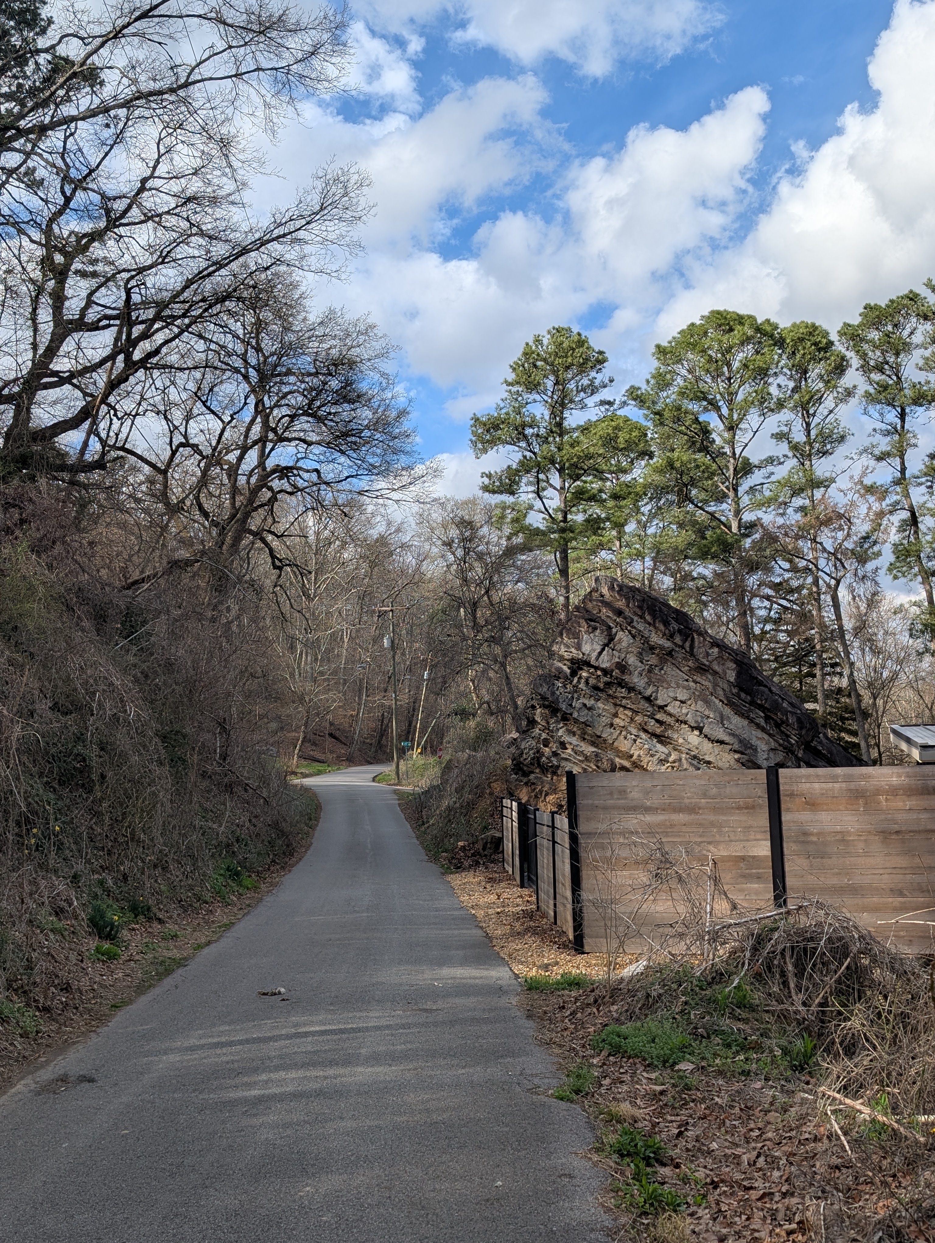
St. Elmo houses line the first part of the route. Many sit right against the base of the mountain. Large boulders push up through yards and driveways. A few cats watch from porch railings.
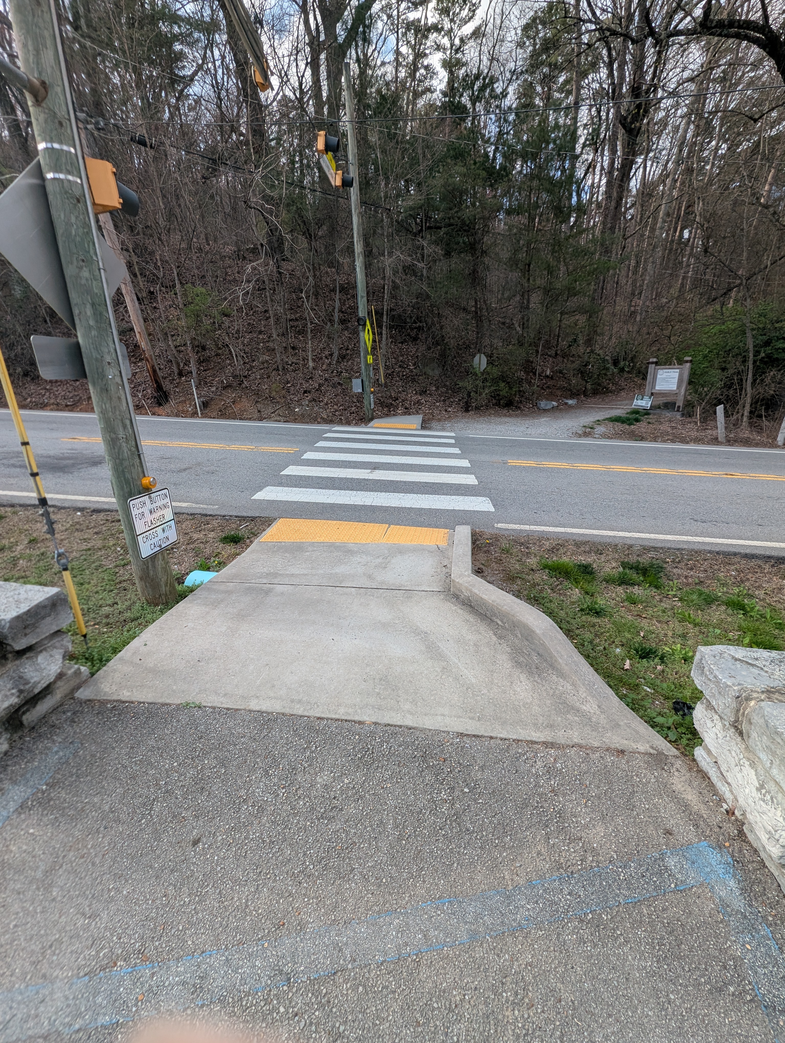
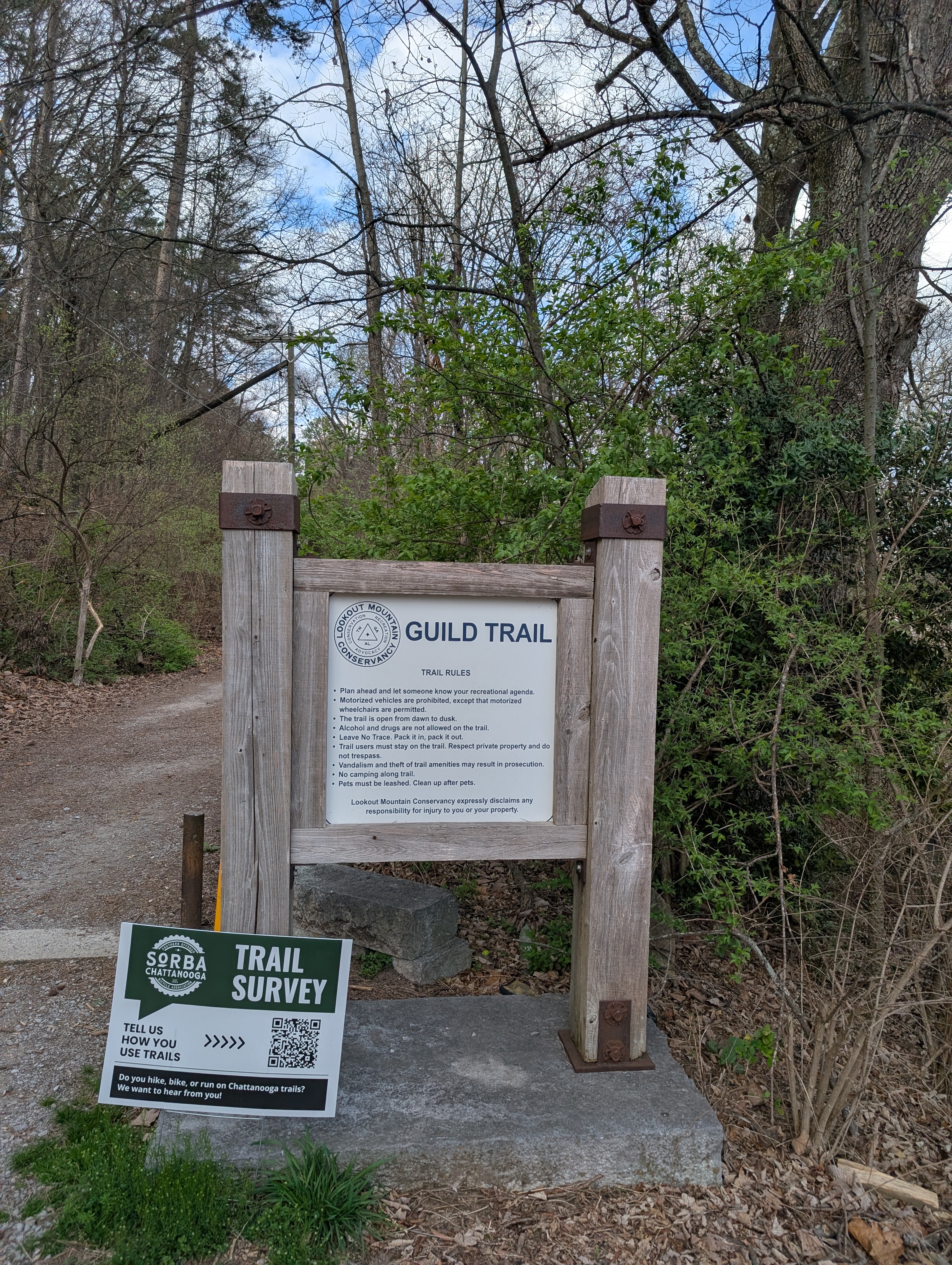
The route climbs gradually before reaching Ochs Highway. A crosswalk with a push button activates flashing lights for traffic. Some hikers park here to skip the lower stretch. Across the road begins the Guild-Hardy Trail in Chattanooga, one of the primary routes hikers use to climb Lookout Mountain from the valley floor.
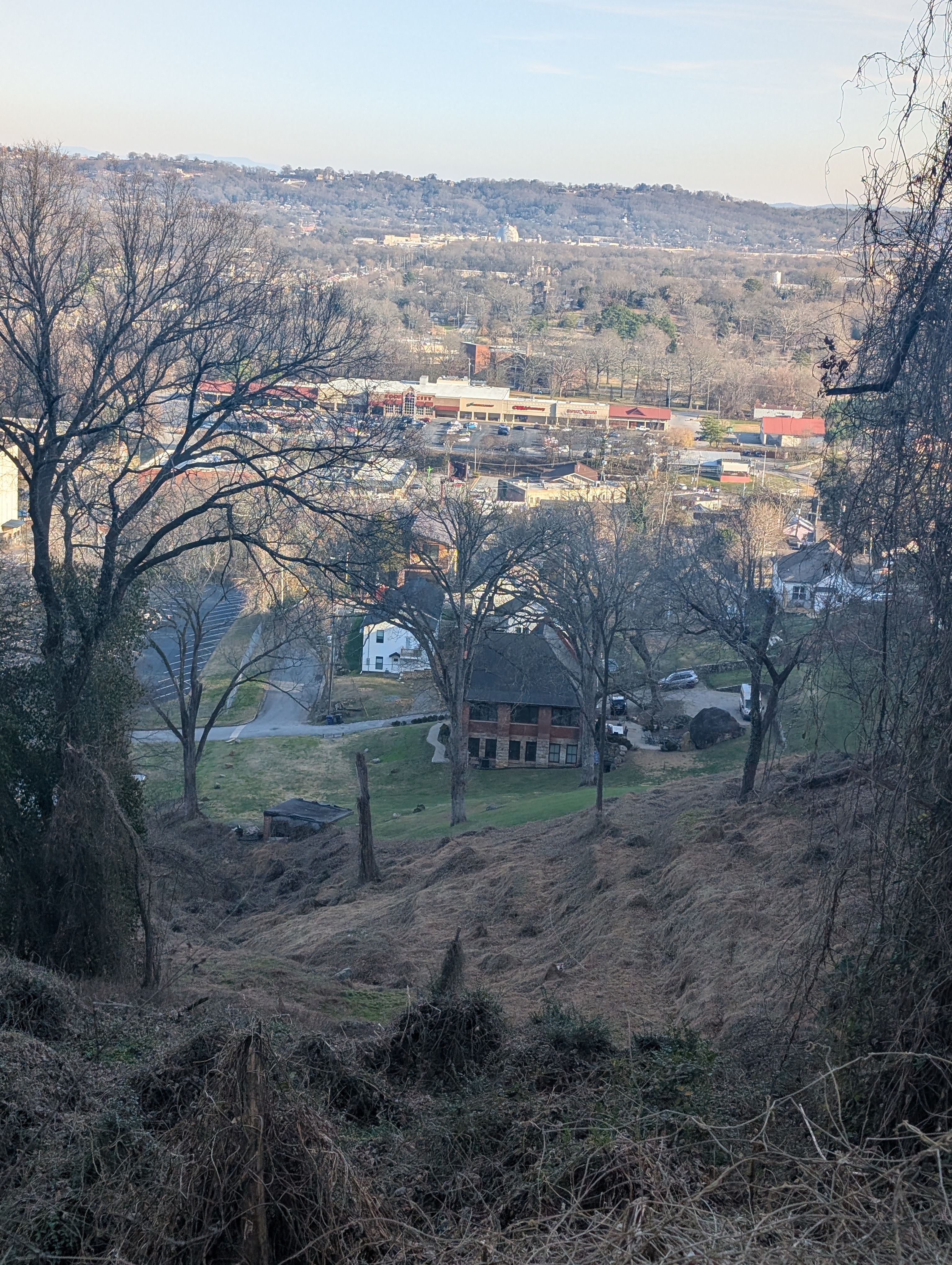
The trail moves through dense hardwood forest. The grade stays steady and switchbacks keep the climb manageable. Every so often an overlook opens. From these points downtown Chattanooga spreads out along the Tennessee River, bridges cutting across the water below. On clear days the view stretches well beyond the city.
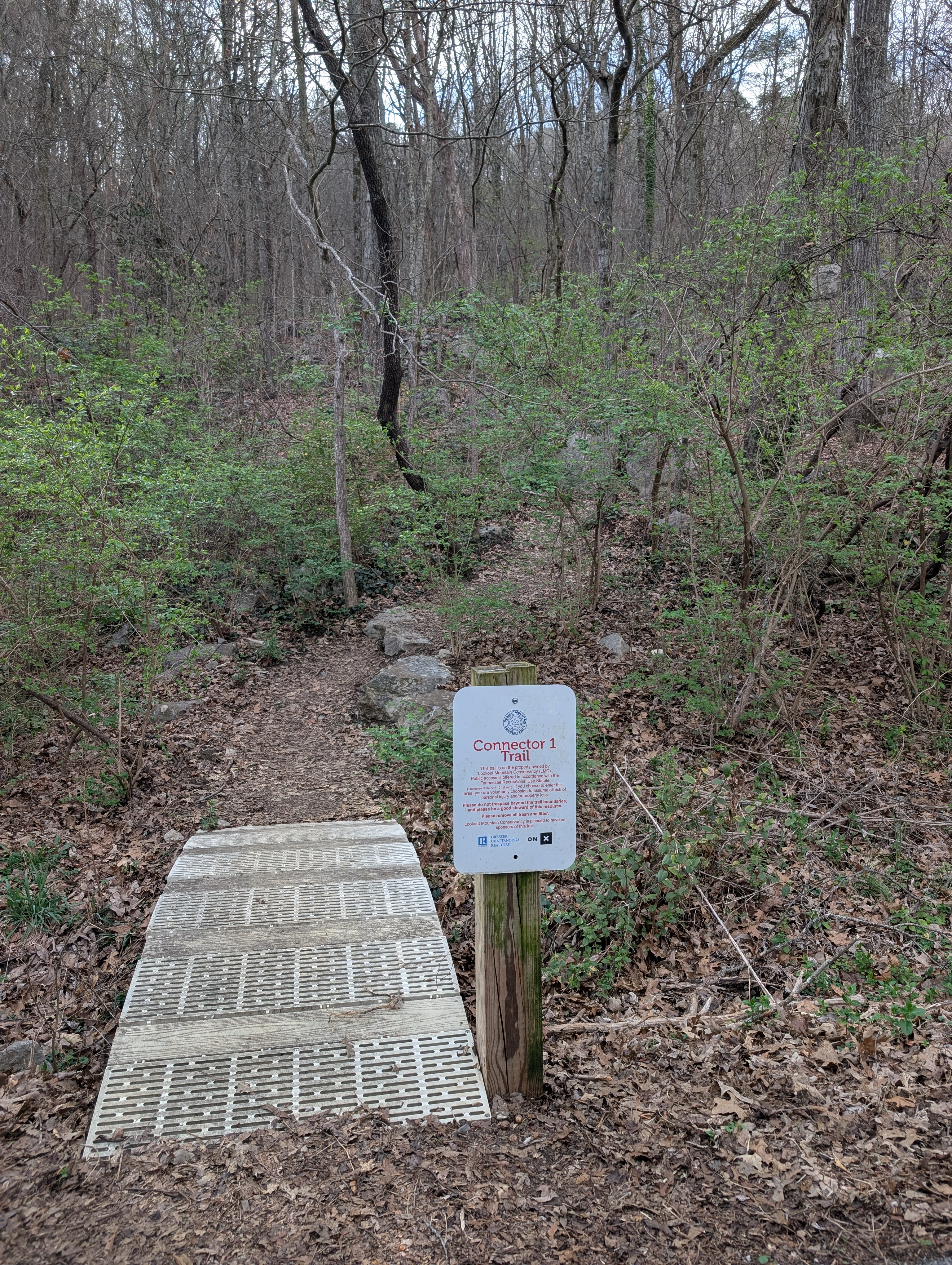
Bikers pass occasionally, tires kicking small clouds of dust. The surface alternates between gravel and packed dirt. Historical markers appear along the route, describing the railroad that once ran through the mountain and other pieces of Lookout Mountain’s past.
Eventually the trail meets pavement near Ruby Falls. The entrance area is busy—large signs, a full parking lot, and visitors lining up for cave tours. Behind the main entrance the route continues along Cravens Terrace, where additional parking spots sit closer to the upper trails. For Ruby Falls tours and other Lookout Mountain activities, see the Outdoors Guide.
Cravens Terrace feels rougher than the Guild Trail. The gravel is looser and the climb steeper in places. Several historical markers point toward nearby Civil War sites and the Cravens House.
Farther up the road sits the junction with Upper Truck Trail, where several other routes branch into the Chickamauga and Chattanooga National Military Park trail system. Views open wider here, with the river and downtown Chattanooga appearing much smaller below.
The return follows the same route back down the mountain. The descent moves faster, though the loose gravel keeps footing in check. Overlooks appear again along the way before the trail drops back toward Ruby Falls and the Guild-Hardy Trail.
Soon the houses of St. Elmo come back into view, with the same boulders sitting among yards and driveways. After crossing Ochs Highway again, the final stretch follows the narrow road back to the connector parking area.
The full out-and-back measures a little over seven miles. Strava recorded roughly 550 feet of elevation gain. It’s not an extreme climb, but it’s enough to reach quiet forest, a few overlooks above the Tennessee River, and a clear view of Chattanooga from the slopes of Lookout Mountain.
Related: For more routes and filters (Guild-Hardy, Glen Falls, Ruby Falls, and others), see the Lookout Mountain section of the Outdoors Guide. For a lakeside hike at Booker T. Washington State Park, see Finding a Shoreline at Booker T. Washington. For canyon hiking at Cloudland Canyon, the Cloudland Canyon Guide. For the history behind the markers and Cravens House, Civil War in Chattanooga. For sweets and coffee at the base of the mountain in St. Elmo, the Confections Guide.